Day: December 30, 2017
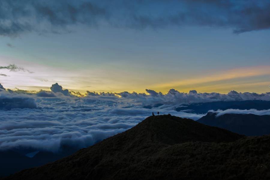

If Machu Picchu is the jewel in the crown of the Andean country as far as the Inca culture is concerned, the Manu National Park is number one in the category of jungle and wild nature. It is a magical
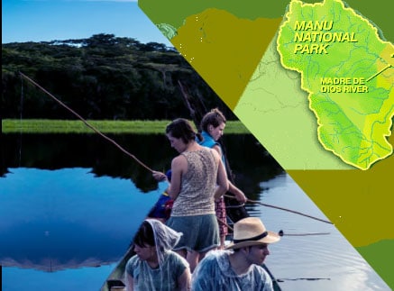
The Manu is divided into three zones: the largest sector is the natural zone, which comprises 80{c0703f7f9c2066f1973534d24c719b55597fc2c19666777f4898692757df1612} of the total area of the park and is closed for unauthorized visitors. The second sector, even within the natural park itself, is
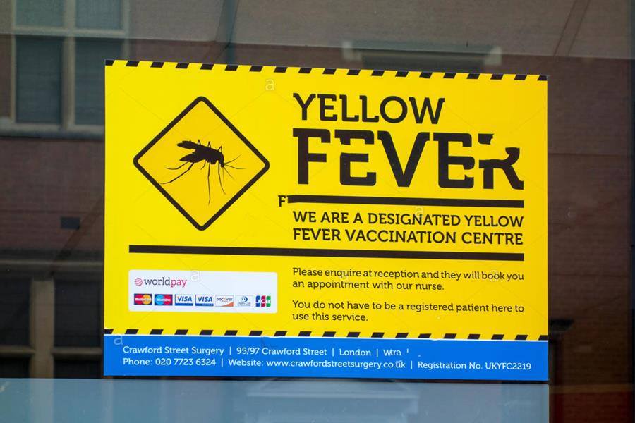
There is no vaccine for malaria, but prescription drugs help to minimize the likelihood of contracting this mosquito-borne disease. Malaria strains are resistant to the traditional chloroquine regimen. Wear long sleeves and pants, and use a mosquito repellent that contains

The southern Amazon basin of Peru has a dry season pronounced between May and October; and although most of the hostels are open all year, some in Manu close between December and April. The rain of Manu is more evenly

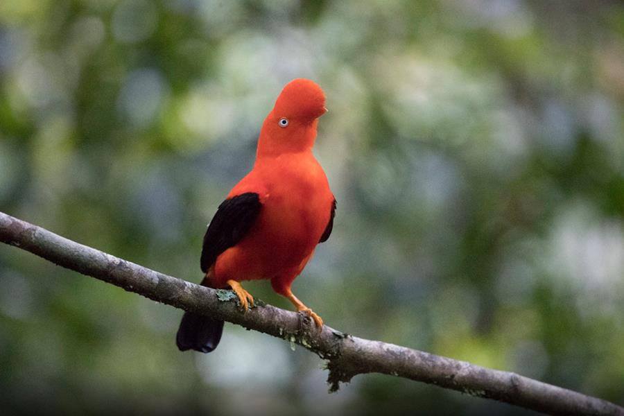
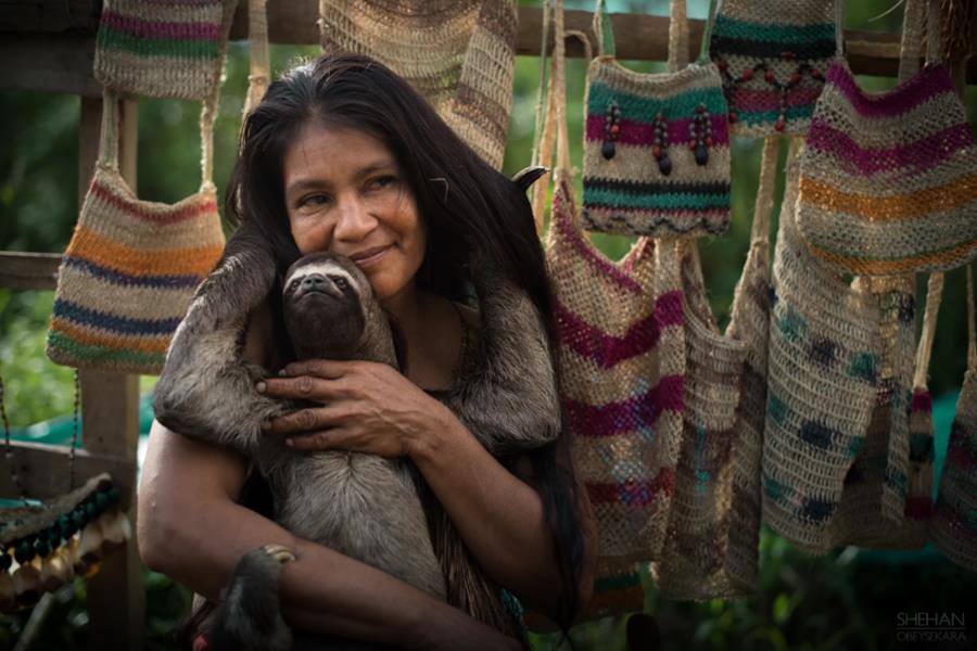
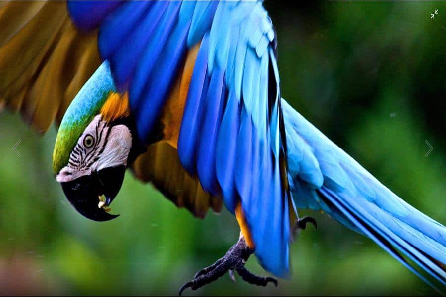
While Tambopata is excellent for bird watching, with nearly 600 species, Manu enjoys an almost mythical reputation among birdwatchers. And it should: it has the highest concentration of birds on the planet. In addition to its many thousands of plant

Iquitos, dengue, malaria and yellow fever. If you travel to the Peruvian jungle, it is best to ask the doctor who takes your health history at least 4 weeks before traveling. It is important and mandatory to get vaccinated if
In pre-Columbian America, the Amazonian territories near the present city were inhabited by jungle ethnic groups such as the Yameo and Iquito, from which the city took its name. The Iquito settled on the Pastaza, Arabela, Tigre, Nanay and Curaray
If you plan to make an expedition beyond the limited road network that surrounds Iquitos, you must take an organized trip with a lodge operator, a river cruise or hire an independent guide. Large local entrepreneurs have a lot of control
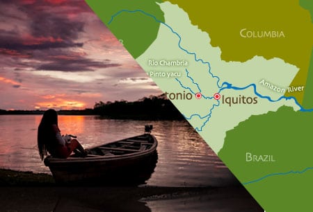
The province of Maynas is located in the Loreto Region in the Northeast of Peru. The capital is the city of Iquitos that is located on the left bank of the Amazon River, it is the most important populated center
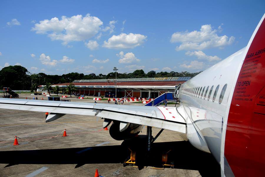
The International Airport of Iquitos Coronel FAP Francisco Secada Vignetta, is the airport that serves the City of Iquitos, capital of Loreto, Peru. It is considered one of the main airports in Peru. located 7 km (4.5 miles) southwest of

The average climate in Iquitos Peru In Iquitos, the summers are very hot and cloudy; The winters are short, hot and partly cloudy and it is oppressive and wet all year round. During the course of the year, the temperature
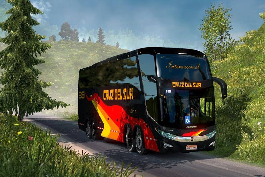
Cusco to Tambopata by bus Transportation by Bus to Puerto Maldonado connects with cities in southern Peru through the Interoceanic Highway, a transcontinental and international highway that links Brazil and Peru. The trip by land is another wonder, it takes

Tambopata, yellow fever, malaria or any disease risk Diseases transmitted by mosquitoes such as malaria (Malaria lives in the jungle and cycles through wild animals.) When people start working in these areas, whether to extract chestnuts or extract minerals, they
Climate and temperature in Tambopata Most people visit Peru in winter, from June to August, when the weather is dry and sunny in the highlands and jungles. The average climate in Tambopata, the summers are short, very hot, humid and

Birds and animals found in Tambopata Less than an hour downstream from Pto. Maldonado walking about 1 hour is Lake Sandoval, a large lake where the Ministry of Agriculture has introduced the big paiche fish. At its best in the